Flying
Everything looks different from above. You see both more and less, and things become flatter and larger and smaller... how does that work, really? But in this new perspective, you get a better feeling for how small we are and how vulnerable the earth really is. This is what I saw on my flight from New York to Liberia, Costa Rica. (Click on the photos for larger versions on Flickr and links to more photos.)
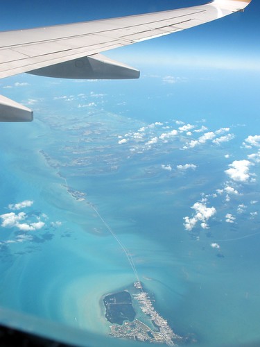
This is somewhere over the Caribbean, maybe Bahamas. That color of the water is amazing. I tried to find this on Google satellite maps, I thought it wouldn't be hard to find such a long bridge, but I am not sure what this is. Just that it is north of Cuba and in the Atlantic. This place looks horribly vulnerable to sea level changes and hurricanes, but gorgeous too. Except, the southern island is mostly a city.
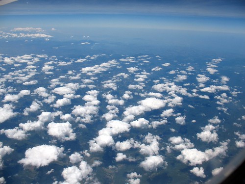
Down there under the clouds is Cuba, a place I would love to visit some day. See the mountains in the distance.
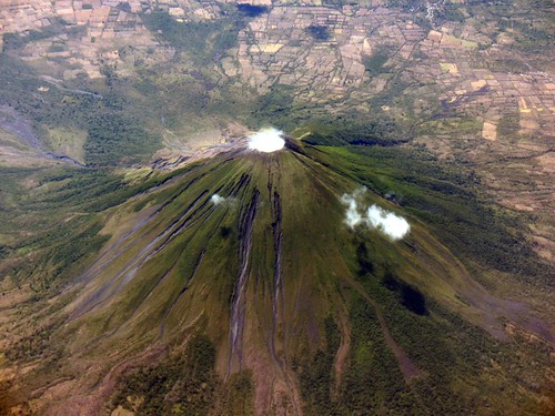
A vulcano on an island in the Lago de Nicaragua, near the northern border of Costa Rica. At least I think it was on the island of Ometepe, because I tried to match my photo to satellite images on Google Earth. Harder than it sounds. Look at all those fields, so close to the volcano.
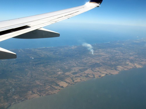
A strip of land, much wider than you think, between the Pacific coast and Lago de Nicaragua. The smoke probably comes from sugarcane that is burning. After the harvest they burn the leaves and also often part of the ground vegetation.
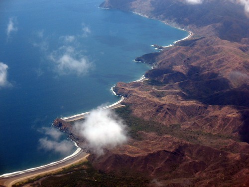
The northeastern Pacific coast of Costa Rica, maybe also Nicaragua. Wonderful unspoilt beaches that probably will have big hotels along them. Too bad.


2 comments:
Fantastic pictures LS! I think the volcano is Conception.
Island mystery solved (thanks to BV, via e-mail):
Your mystery island is Marathon Key in the FL Keys.
The give away is the twin bridges. The first is the RR bridge that was built in the 20's. After the hurricane that washed parts of it away, FL obtained the RR right of way and used parts of it to build a highway. After it started to deteriorate, they built a second, new highway parallel to it.
Post a Comment